


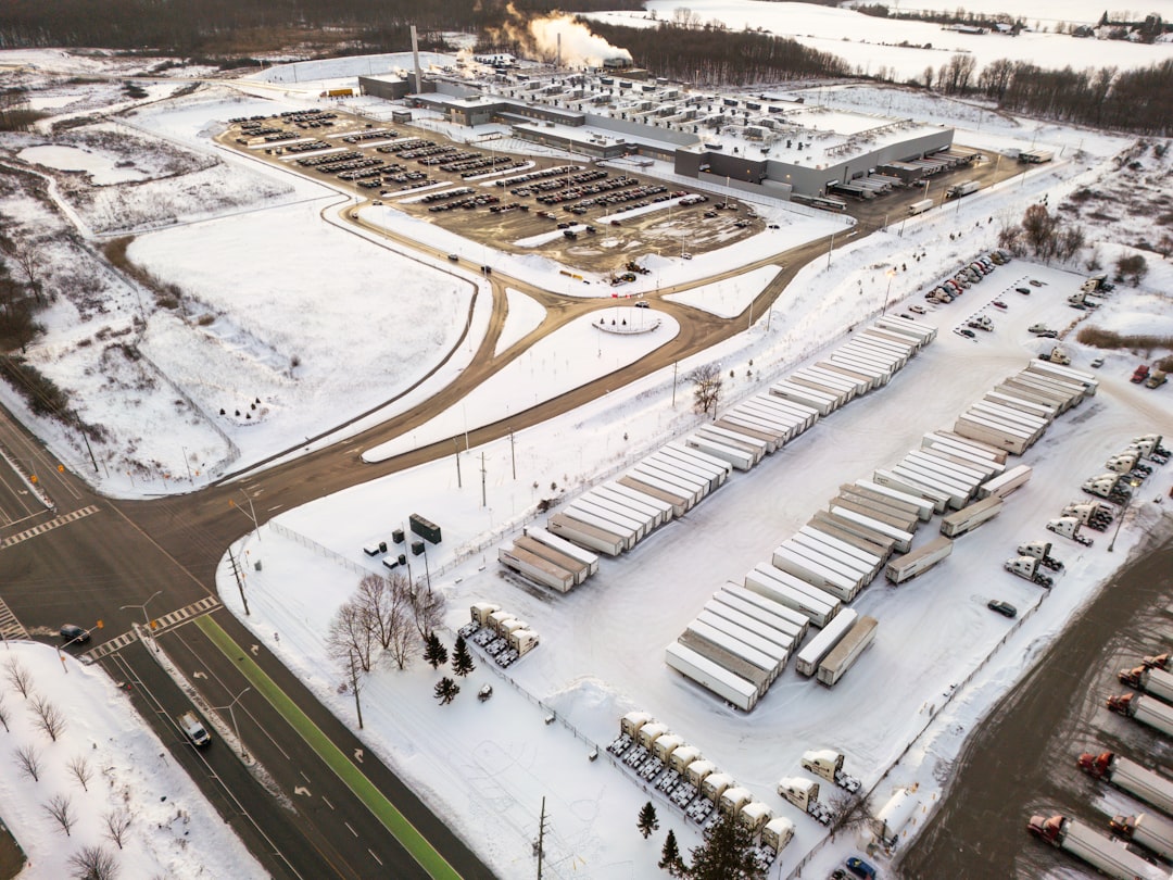
Are you leveraging modern technology to maintain your valuable assets? In the competitive GCC property and facilities management market, traditional inspection methods are rapidly becoming obsolete. Consequently, drone inspections aerial property assessment offers a revolutionary solution. This approach enhances safety, accuracy, and operational efficiency for roof and facade surveys. Therefore, understanding this technology is crucial for maintaining a competitive edge and ensuring regulatory compliance across the region.
The GCC’s construction boom and ambitious infrastructure projects demand innovative maintenance strategies. Furthermore, extreme climate conditions accelerate wear on building exteriors. Regular, detailed assessments are no longer a luxury but a necessity. UAV technology provides unparalleled access and data quality. This shift represents a significant operational upgrade for facility managers, real estate developers, and construction firms alike.
At Allianze HR Consultancy, we recognize that technological adoption requires skilled talent. Moreover, our expertise extends beyond traditional recruitment into sectors driving innovation, like UAV operations. We’ve successfully placed 10,000+ professionals across UAE, Saudi Arabia, Qatar, and Kuwait. Furthermore, our 5+ years of GCC expertise supports clients from 50+ countries. Moreover, our Ministry of External Affairs (India) RA license ensures compliance. Therefore, contact our recruitment specialists for expert guidance on building your technical teams.
Understanding Modern Facility Assessment Requirements
Facility management in the GCC presents unique challenges. The region’s harsh sun, sand, and humidity degrade building materials quickly. Consequently, proactive maintenance is essential for asset preservation. Traditional methods like manual roof walks or scaffolding for facades are inherently risky. They are also time-consuming and often disrupt building operations.
Additionally, regulatory standards for building safety and energy efficiency are tightening. Authorities demand thorough documentation of asset conditions. Therefore, a more efficient, data-driven inspection methodology is critical. UAV technology meets this demand head-on. It provides a safe, non-invasive way to gather comprehensive visual data.
Key drivers for adoption include:
- Enhanced Safety: Eliminates risks associated with working at height.
- Operational Efficiency: Reduces inspection time from days to hours.
- Data Accuracy: Captures high-resolution imagery and precise measurements.
- Cost Reduction: Lowers labor, equipment, and insurance costs.
- Minimal Disruption: Allows inspections without halting facility operations.
Understanding these requirements is the first step. Next, implementing the right technological solution is key. This is where a strategic drone inspections aerial property assessment program delivers exceptional value.
Drone Inspections Aerial Property Assessment Strategic Overview
A strategic drone inspections aerial property assessment program transforms reactive maintenance into predictive management. This approach involves systematic planning, skilled operation, and intelligent data analysis. First, define the scope and objectives for each survey. Are you checking for storm damage, planning preventive maintenance, or conducting a pre-purchase evaluation?
Next, select the appropriate UAV technology and sensors. High-resolution cameras are standard. However, thermal imaging sensors detect moisture intrusion and heat loss. Furthermore, LiDAR sensors create precise 3D models for volumetric analysis. The choice depends on your specific assessment goals.
Execution involves pre-programmed flight paths for consistency. Moreover, certified pilots ensure regulatory compliance with local aviation authorities. Subsequently, the collected data undergoes processing with specialized software. This generates actionable reports, including annotated images, 3D models, and thermal maps. Consequently, facility managers gain a clear, comprehensive view of asset health.
Ultimately, this strategic overview positions UAV surveys as a core business intelligence tool. It supports informed decision-making for capital planning and maintenance budgets. Therefore, integrating this technology is a smart investment for long-term asset management.
Legal Framework and GCC Compliance Standards
Operating drones for commercial inspections requires strict adherence to local regulations. Each GCC country has its own aviation authority with specific rules. For instance, the UAE’s General Civil Aviation Authority (GCAA) and Saudi Arabia’s General Authority of Civil Aviation (GACA) issue operational permits. Non-compliance can result in severe penalties and grounded operations.
Key compliance areas include pilot certification, aircraft registration, and operational approvals. Pilots must complete accredited training courses. Additionally, drones often require registration and regular maintenance checks. Furthermore, flight operations near airports, populated areas, or critical infrastructure have strict no-fly zones.
Beyond aviation law, data privacy is crucial. Capturing imagery may involve neighboring properties or public spaces. Therefore, operators must follow guidelines from entities like the UAE green building regulations and broader International Labour Organization standards for ethical surveillance. Implementing a compliant program protects your organization from legal risk.
Partnering with knowledgeable service providers is essential. They navigate the complex regulatory landscape. Moreover, they ensure all activities align with OSHA construction industry standards for safety and World Bank infrastructure development best practices. This due diligence is non-negotiable for successful implementation.
Drone Inspections Aerial Property Assessment Best Practices
Adopting drone inspections aerial property assessment successfully hinges on established best practices. First, conduct a thorough site risk assessment before every flight. Identify potential hazards like power lines, cranes, or high winds. This proactive step ensures operational safety and protects both personnel and equipment.
Second, standardize data capture protocols. Use consistent flight paths, altitudes, and camera settings for comparable results over time. This allows for accurate trend analysis of deterioration. Furthermore, integrate different data types. Combine visual imagery with thermal data for a holistic diagnosis of roof membrane health, for example.
Third, invest in robust data management and analysis software. The raw data is valuable only when translated into insights. Specialized platforms can stitch images, create 3D models, and automatically flag anomalies. This streamlines the workflow from data collection to report generation.
Essential best practices include:
- Maintaining detailed flight logs and maintenance records for audits.
- Ensuring all personnel have relevant safety training, aligning with World Health Organization workplace standards.
- Establishing clear data ownership and cybersecurity protocols.
- Calibrating sensors regularly to guarantee measurement accuracy.
- Scheduling surveys at optimal times (e.g., early morning for minimal shadow).
Following these guidelines maximizes ROI and ensures reliable, repeatable results for your aerial assessment program.
Documentation and Data Processing Steps
The value of a drone survey lies in its deliverables. Proper documentation and processing turn raw footage into strategic assets. The process begins post-flight with data downloading and backup. Subsequently, specialized photogrammetry software processes thousands of images. This creates accurate orthomosaics (geometrically corrected maps) and 3D models of the structure.
Next, trained analysts review the processed data. They identify and annotate defects such as cracks, ponding water, loose fittings, or corrosion. Thermal data analysis reveals subsurface moisture or insulation gaps invisible to the naked eye. This detailed analysis forms the basis of the inspection report.
The final report should be clear, actionable, and standardized. It typically includes an executive summary, annotated images highlighting defects, thermal analysis maps, and recommended corrective actions. Moreover, it should prioritize issues based on urgency and potential impact. This enables facility managers to plan and budget repairs effectively.
Effective data management is crucial. Store all raw data, processed models, and reports in a secure, organized digital asset management system. This creates a historical record for tracking degradation rates over time. Consequently, it supports predictive maintenance models and extends the lifecycle of your property assets.
Drone Inspections Aerial Property Assessment Implementation Timeline
Implementing a drone inspections aerial property assessment program requires careful planning. A typical timeline spans several weeks. First, the planning and scoping phase takes 1-2 weeks. This involves defining objectives, selecting a service provider or building an in-house team, and securing necessary regulatory approvals.
Second, the execution phase involves the actual site surveys. For a large facility, this may take 1-3 days depending on complexity and weather conditions. Furthermore, pilots conduct flights according to the pre-approved plan. They capture all required visual and thermal data systematically.
Third, data processing and analysis is the most time-intensive phase, requiring 2-4 weeks. Specialists process the imagery, build models, and conduct detailed defect analysis. The depth of analysis directly impacts this timeline. Finally, report generation and presentation typically take another week.
Therefore, from initiation to final report, employers should anticipate a 6-8 week timeline for a comprehensive first assessment. Subsequent inspections are faster, as baselines are established. Partnering with an experienced provider like Allianze for talent sourcing can accelerate building your internal capability. Explore our professional recruitment resources to start.
Common Challenges and Practical Solutions
Despite clear benefits, organizations face hurdles when adopting UAV technology. A common challenge is regulatory navigation. The solution is to partner with or hire certified pilots who understand local GCAA, GACA, or QCAA regulations. They manage permit applications and ensure airspace compliance.
Another issue is data overload. Drones generate vast amounts of data that can overwhelm traditional workflows. The solution is investing in the right software and analyst training. Automated defect detection tools can streamline initial screening. Furthermore, establishing a clear data hierarchy focuses attention on critical findings.
Internal resistance from traditional maintenance teams is also possible. The solution involves change management and demonstrating value. Conduct pilot projects on problematic assets. Show how drone data identified issues missed by manual inspections. This evidence-based approach builds trust and buy-in across departments.
Finally, justifying the initial investment can be difficult. The solution is a clear cost-benefit analysis. Highlight savings from avoided scaffolding, reduced labor hours, and prevented major repairs through early detection. Additionally, reference global standards from the International Facility Management Association and studies from the World Bank that advocate for smart infrastructure management.
Expert Recommendations for Successful Adoption
For GCC employers ready to embrace this technology, start with a pilot project. Select a single building or a specific problem area. This controlled approach allows you to test workflows, measure results, and calculate ROI without enterprise-wide risk. Moreover, it provides tangible case studies to secure broader organizational support.
Next, focus on talent. Decide whether to build an in-house team or outsource to specialized service providers. For frequent, large-scale inspections, an in-house team may be cost-effective. However, this requires investment in recruiting certified pilots, data analysts, and equipment managers. Allianze HR can assist in sourcing this niche technical talent efficiently.
Integrate drone data with existing asset management systems. The true power of aerial assessments is realized when data feeds into your CMMS (Computerized Maintenance Management System). This creates a digital twin of your facility, enabling truly predictive maintenance. Consequently, work orders can be generated automatically from drone-identified defects.
Finally, commit to continuous training and staying updated on technology and regulations. The UAV field evolves rapidly. Regular training ensures your team uses the latest techniques and remains compliant. Schedule a consultation appointment with us to discuss your strategic hiring needs for this innovative field.
Frequently Asked Questions About Drone Inspections Aerial Property Assessment
What is the primary benefit of drone inspections aerial property assessment?
The primary benefit is enhanced safety through the elimination of high-risk manual inspections. Furthermore, it provides superior data accuracy and detail for informed decision-making. Therefore, it transforms facility management from reactive to proactive.
How accurate are UAV surveys compared to traditional methods?
Drone surveys are significantly more accurate. They capture millimeter-accurate data using high-resolution and thermal sensors. Moreover, they provide complete coverage without the access limitations of traditional methods, ensuring no defect goes unnoticed.
Are drone inspections legally permitted for all buildings in the GCC?
Most buildings are permissible, but strict regulations apply. Operations often require permits from national civil aviation authorities. Additionally, no-fly zones exist near airports and sensitive infrastructure. Always consult with certified operators to ensure full compliance.
What types of defects can aerial assessments detect?
They can identify cracks, moisture intrusion, thermal leaks, structural deformities, corrosion, and material degradation. Additionally, they are excellent for assessing hard-to-reach areas like high-rise facades, complex roof geometries, and solar panel arrays.
Can this technology be used for interior inspections?
Yes, specially designed drones can safely inspect large interior spaces like warehouses, hangars, and auditoriums. They are ideal for checking high ceilings, lighting systems, and structural components without erecting scaffolding.
How does Allianze HR support companies adopting this technology?
We specialize in recruiting the technical talent required for UAV programs. This includes certified drone pilots, data analysts, GIS specialists, and operations managers. Furthermore, we ensure all placements meet GCC labor compliance standards for a seamless integration into your team.
Partner with Allianze HR for Aerial Assessment Success
Implementing a drone inspections aerial property assessment program is a strategic decision that future-proofs your asset management. The transition from manual, risky inspections to data-driven, aerial surveys delivers undeniable value. It enhances safety, reduces costs, and provides unparalleled insights into your property’s condition. Consequently, organizations gain a significant competitive advantage in the GCC’s dynamic real estate and facilities sector.
Success hinges on the right combination of technology, processes, and most importantly, people. Building or accessing a team with the correct certifications and analytical skills is critical. This is where Allianze HR Consultancy provides essential support. Our deep understanding of the GCC market and technical recruitment landscape allows us to source the specialized talent you need.
We help you navigate the entire talent lifecycle, from identifying requirements to ensuring compliant onboarding. Let us help you build the capability to leverage UAV technology effectively. Embrace innovation, enhance your operational excellence, and protect your valuable assets. Contact our HR specialists today to discuss your recruitment strategy for the future of facility management.